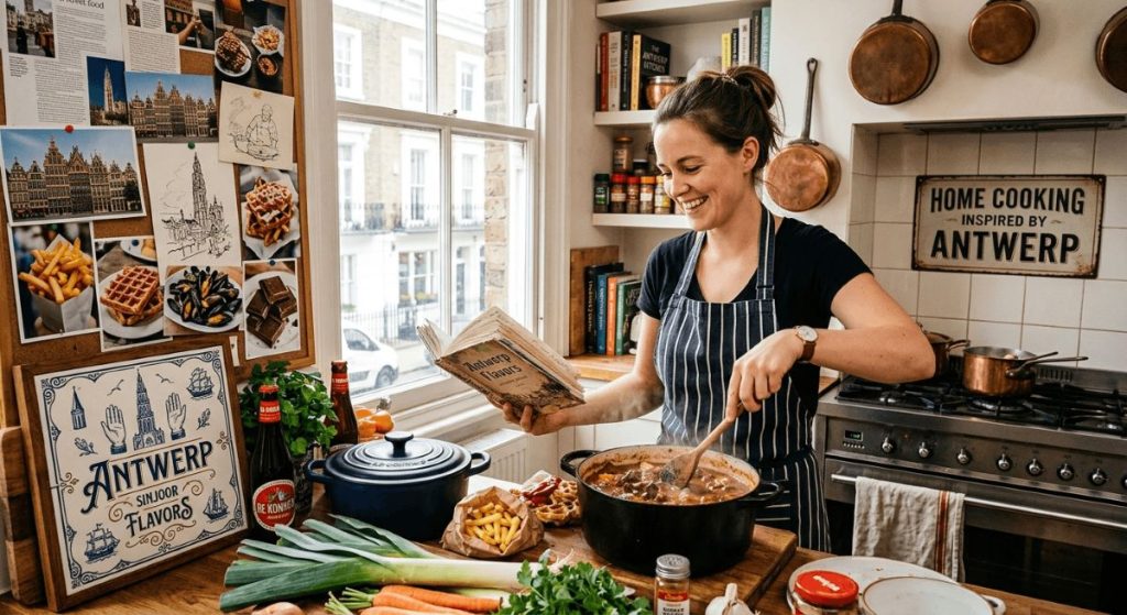
Posted inCulinary Delights How Antwerp’s Food Scene Inspires Home Cooks Around the World Posted by By Jen 3 June 2026 Antwerp has a way of getting inside you. The city is ancient, compact, and alive…
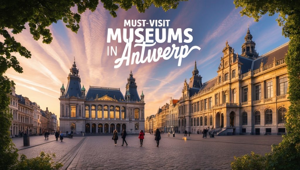
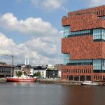
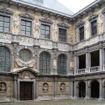
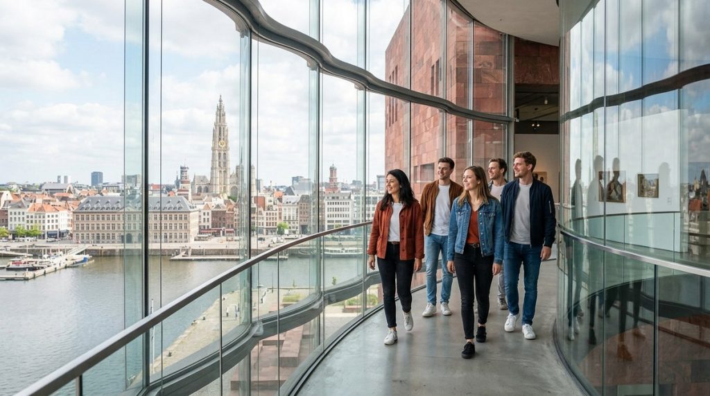
Posted inMuseums and Galleries Best Museums to Visit in Antwerp Posted by By peter 6 May 2026 Best Museums to Visit in Antwerp Antwerp is not just a fashion forward port city…
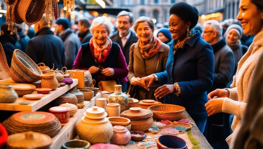
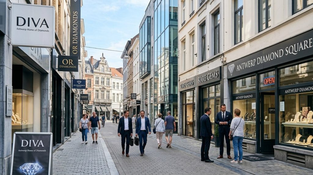
Posted inShopping and Markets Antwerp’s Diamond District: What You Should Know Posted by By peter 6 May 2026 Antwerp’s Diamond District: What You Should Know Antwerp’s Diamond District shines as one of the…
Posted inMuseums and Galleries Top Things to Do in Antwerp for First-Time Visitors Posted by By peter 6 May 2026 Top Things to Do in Antwerp for First-Time Visitors | Antwerp Tourist Guide Antwerp welcomes…
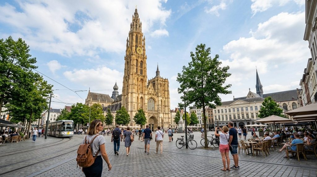
Posted inOutdoor Activities The Best Times to Visit Antwerp’s Top Attractions Posted by By Jen 22 March 2026 Antwerp is a city where timing quietly shapes everything. Streets feel different depending on the…
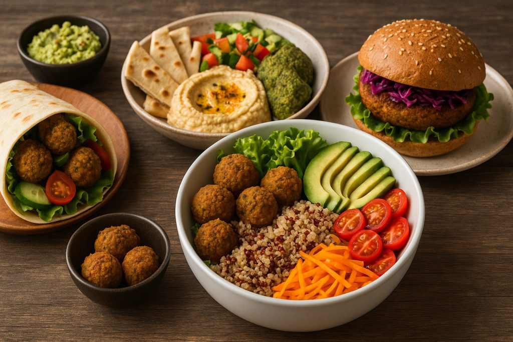
Posted inCulinary Delights Vegan and Vegetarian Dining Spots in Antwerp Posted by By Jen 20 May 2025 Is it easy to eat plant-based in Antwerp? Absolutely. The city delivers far more than…
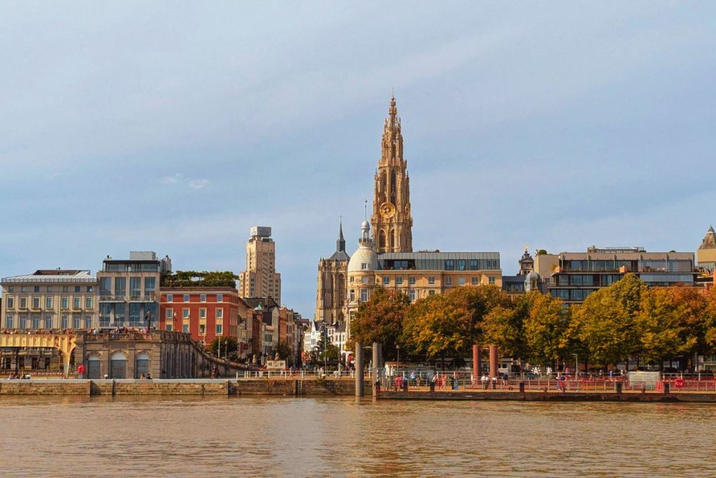
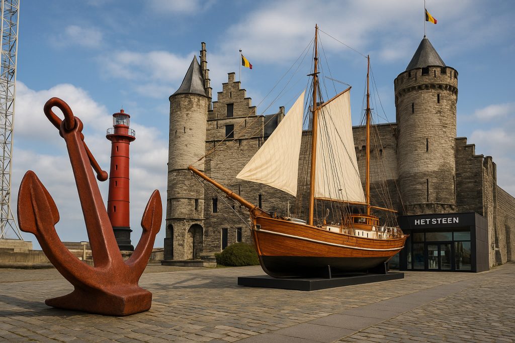
Posted inMuseums and Galleries Antwerp’s Maritime Museum: A Tribute to its Port History Posted by By Jen 13 May 2025 Why does a city like Antwerp need a maritime museum? Because its identity has always…
Posted inHistorical Sites The Influence of Napoleon on Antwerp’s Urban Landscape Posted by By Jen 6 May 2025 When Napoleon Bonaparte marched into the Low Countries, Antwerp found itself drawn into a radical…
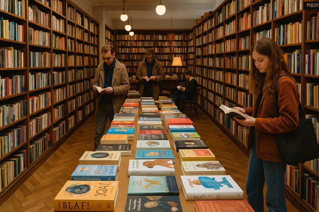
Posted inShopping and Markets Bookstores in Antwerp: Literary Treasures for Book Lovers Posted by By Jen 29 April 2025 Antwerp’s bookstores aren’t just places to buy books—they’re anchors of culture, architecture, and community. Whether…
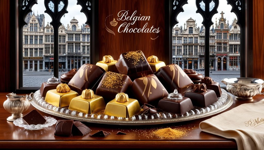
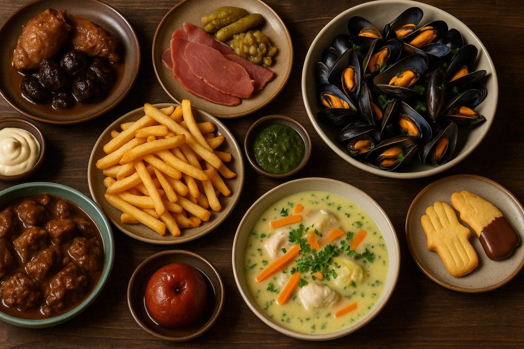
Posted inCulinary Delights Authentic Flemish Dishes to Try in Antwerp Posted by By Jen 22 April 2025 Antwerp’s food scene tells the story of Flanders on every plate. Rich, hearty, and steeped…